PortfolioGeospatial data scientist + engineerSF Bay Area · 2026

    ForrestPound

    CurrentlyMotivf · Resonance
    Based inSF Bay Area, CA

    Building, investigating, translating.

    Case studies

    Two careers, one habit. Find what's actually going on, and show it to people who need to act on it.

    I'm a geospatial data scientist and data engineer based in the SF Bay Area. I build production data platforms and novel risk models for environmental and climate-adjacent work: human mobility, wildfire vulnerability, biomass, irrigation, conflict-zone humanitarian operations. Currently the technical lead and product architect for Resonance at Motivf, a platform processing hundreds of billions of GPS pings for federal and commercial clients. Before geospatial, nearly two decades making documentaries for High Country News, The Long Now Foundation, Pop-Up Magazine, and The Redford Center. The films are at the bottom of this page.

    Motivf · 2024 – PresentLive · case study

    Resonance/SPOT-AIS

    A human mobility analytics platform, and the product that taught it what to be.

    Public product I designed and lead-engineered at Motivf for state aquatic invasive species programs and the U.S. Army Corps of Engineers. Lake-to-lake boater movement across ~21,000 U.S. waterbodies; ~100 users across federal and state agencies. The platform underneath processes hundreds of billions of GPS pings.

    DatabricksPySparkPMTilesMartinH3PostgreSQL + RLSMapLibre · deck.gl
    Read case study
    SPOT-AIS nationwide vessel trajectory layer
    WUUII · 2023 – 2026Concluded

    Neighborhood wildfire risk

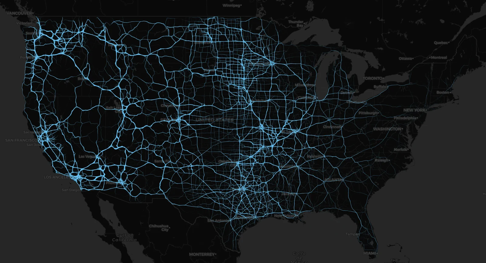
    A network-based model that says your neighbor's defensible space matters more than yours.

    A novel network-based wildfire risk model using NDVI fuel connectivity analysis and random forest classification, designed to identify insurable properties inside zones written off by conventional insurers. Built biomass and canopy height models in Sonoma County using spaceborne GEDI LiDAR. Created feature-matching georeferencing pipelines to place classifier-detected objects from oblique aerial and street-level panoramic imagery into ground coordinates.

    Random forestGEDI LiDARNDVINetwork analysisBiomass modeling
    PlanetScape AI · 2022 – 2023Brief overview

    Conflict-zone monitoring

    Real-time tracking of human displacement during the Ukraine and Sudan conflicts.

    Geospatial monitoring of population displacement during the Ukraine and Sudan conflicts, in collaboration with the U.S. Department of State and the Conflict Observatory. Built dynamic dashboards visualizing displacement to inform diplomatic and humanitarian response, and authored analytical reports used in conflict stabilization efforts.

    Human mobilityConflict monitoringArcGISDashboards
    2007 — 2022Films

    Documentary film

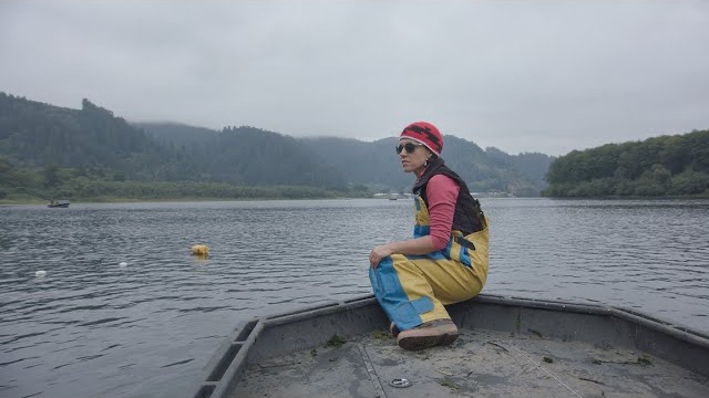
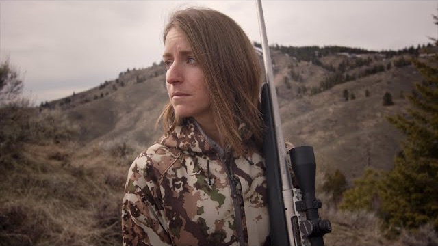
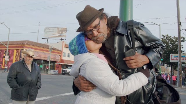
    Nearly two decades producing environmental and social-issue documentaries.

    For High Country News, The Long Now Foundation, Pop-Up Magazine, The Redford Center, and others. Eight films covering Indigenous urban experience, watershed ethics, climate activism, just transition, and the U.S. West. The same habit as the data work: find what's going on, show it to people who need to act on it.

    ProducerCinematographyEditingEnvironmentalSocial issue
    Watch films

    Looking for the right next thing.

    Mid-to-senior IC roles in geospatial data science or data engineering. Climate tech, earth observation, environmental intelligence, public-interest work. Open to contract.

    LocationSF Bay Area, California